|
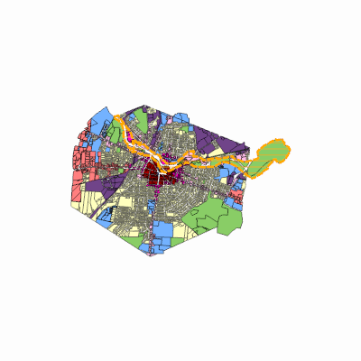
Width: 400 Height: 400 Extent:
YMin: 1427866.4058794503 XMax: 1020014.8749883885 YMax: 1468628.6379853033 Spatial Reference: 103118 (6535) Scale: 117395.22846485673 |
| ArcGIS REST Services Directory | Login |
| Home > services > Planning > ProposedZoningMap (MapServer) > export | API Reference |

|
Width: 400 Height: 400 Extent:
YMin: 1427866.4058794503 XMax: 1020014.8749883885 YMax: 1468628.6379853033 Spatial Reference: 103118 (6535) Scale: 117395.22846485673 |